
Conservation
Looking after our spaces
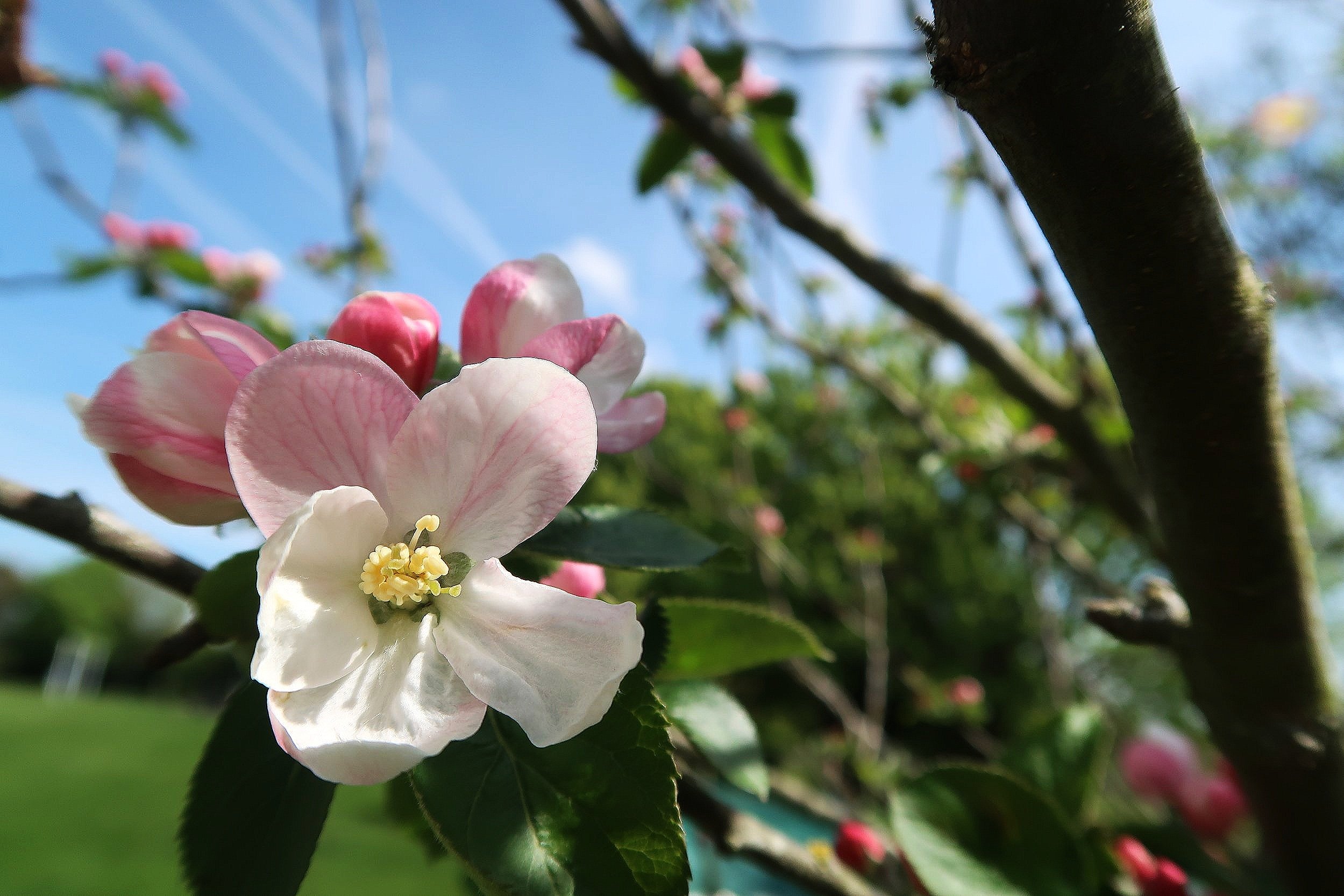
Collingbourne Ducis is a downland village, meaning it is characterised by gently rolling hill country. People have lived in this area consistently since Neolithic times. The village is in a Conservation Area and a site of Archaeological importance.
In 1934, Sunton hamlet and the northern part of Cadley hamlet were brought into Collingbourne Ducis parish from Kingston; giving Ducis a total area of 3,629 acres.
Read our:
Location
Our village lies in the valley of the River Bourne, a winterbourne tributary of the Salisbury Avon. We lie 11 miles south of Marlborough and 3 miles north of Tidworth, a garrison town. Devizes lies 18 miles to the west. Heading southeast 3 miles you’ll reach Ludgershall and roughly 7 more miles will take you to Andover.
The village, which is generally linear, lies concealed north and south along a shallow valley of the Bourne that defines the eastern edge of Salisbury Plain and the western fringe of Chute Forest.
Landscape
The area has a strong and distinctive character of openness and comparative lack of human intervention. This is particularly true in the western approaches where the restricted access and lack of cultivation has created an expansive wild landscape.
Within the broader landscape, the ground rises to over 150 metres above sea level at Wick Down to the east. The village is defined along the eastern slope by the wooded embankment of the former railway line. The straight main road enters from the north high up the western slope and descends southwards to a central crossroads in the bottom of the valley. In the north, the cottages of Sunton follow the eastern bank of the Bourne. To the west, the limits of the village are more or less defined by the bare lip of the valley.
The openness is punctuated by sporadic blocks of woodland planted for military purposes, intersected by a number of chalky tracks created by military vehicles. To the north and towards Everleigh, intensive arable downland stretches over several miles contributing to the character of extreme openness.
Land cover varies considerably across the area. Open and enclosed arable downland on the high chalk gives way in the east towards Chute Forest, where there are large areas of woodland and woodland/farmland associated with the caps and clay and flint. The above contributes to the special setting in which Collingbourne Ducis is situated.
Land to the West of the old railway line is designated a Special Landscape Area whilst the land to the East is within the North Wessex Downs Area of Outstanding Natural Beauty. The village includes a designated Conservation Area.
Character
Many thatched, timber framed dwellings of flint, rubble and brick - some dating back to the 17th century - line the banks of the River Bourne. Some of the older houses are probably cruck framed.
The proportions of the older dwellings are dictated by economy and materials used in their construction. Local brick, often speckled red, and rubble and flints were used to build walls. These walls were often covered in lime wash and some modern developments are required to white paint their walls to harmonise with the older properties nearby.
Thatching is still widespread and gives the village a particular local character. Before the second world war, long straw thatch was typical. It has a shaggy surface and is fixed with straps at the eaves. Long straw flows easily round half hipped roofs and eyebrow windows and probably contributed to these forms. A flush wrap over ridge is traditional. New forms of thatch have recently been introduced which has a more compact appearance.
Very little slate is in evidence, which was unpopular in Wiltshire before the advent of the canals, which brought slate from Wales. Plain red tiles are found in some older properties and have been used in some recent buildings as they mellow well within the village environment.
The village contains fine examples of 17th- and 18th-century design and construction, with some significant Victorian properties. Of the older dwellings, 54 are Listed (Grade II) but there are similar properties which may be eligible for listing.
Many properties back on to open farmland which is an important aspect of Collingbourne Ducis character that should be preserved. The church, which was reported as a ruin at the time of the Domesday Book , was rebuilt in the 13th-century and altered in the Victorian times.
Ongoing conservation
The people of Collingbourne Ducis wish to maintain and enhance the character of the village with an emphasis on keeping the environment rural, respecting the Conservation Areas, protection of the water meadows, desisting from development of green field sites and further planting of trees and shrubs to improve the general landscape.